ABOUT OUR TRAILS
Approximately nine miles of trails fan out from the village, through the Wildlands and along the perimeter of the island, scaling cliffs that are among the highest in Maine. While some trails are suitable for families with small children or people with limited time or physical prowess; others are considerably more challenging.
WE STRONGLY RECOMMEND ALL HIKERS USE OUR TRAIL MAP AND PLAN YOUR ROUTE ACCORDING TO YOUR ABILITY
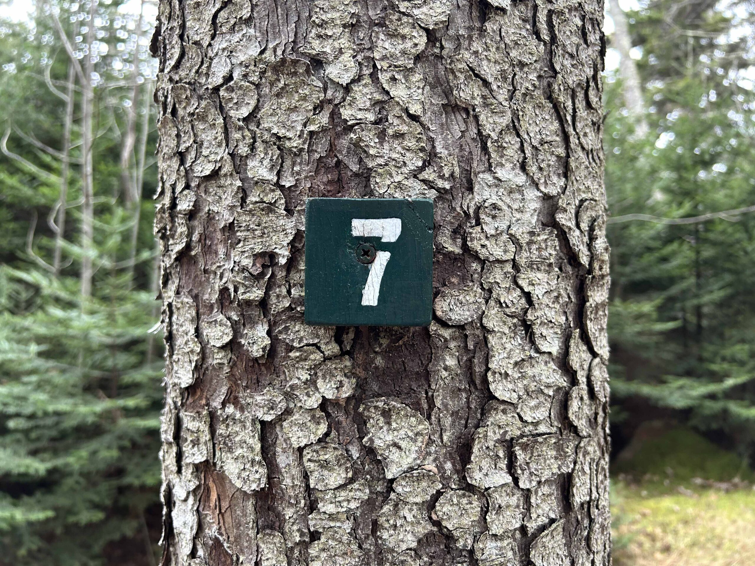
Monhegan’s Wildlands trails can be narrow, rugged, and rocky with wet areas, exposed tree roots, steep climbs, sheer drops and dense growth. Trails are indicated by number and marked at each end and at junctions with white trail numbers on small green blocks of wood on trees. Emergency medical and rescue services are extremely limited on Monhegan. Provided primarily by volunteers; services originate from the mainland and often are delayed by weather.
In case of a SERIOUS emergency, call 911 but be aware that cell phone service can be spotty, especially outside the village.
PLAN AHEAD AND HIKE WITH CAUTION
- Wear appropriate footwear, carry sufficient water, use insect repellent as needed
- If hiking alone, share your plans with others
- Be alert for Poison Ivy and wasps nests
- Stay well above the high tide line and black rocks on the headlands side of the island, especially between Green Point and Lobster Cove. Do not swim, wade, or scuba dive in these areas. Tidal currents and undertow make rescue impossible.
Trails are indicated by number and marked on trees at each end and at junctions with white trail numbers on small green blocks.
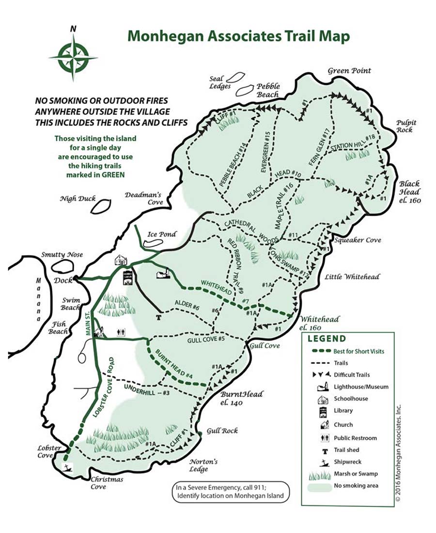
THE TRAIL MAP
This map is presented as information to those off island who want to get an idea of the “lay of the land” before coming out.
Our official Trail Map is available for a nominal cost from the boat ticket booths of the Monhegan Boat Line and the Hardy Boat as well as at various shops and trail boxes around the village. Please pick up the most recent printed copy of as you arrive on Monhegan.
Trails on the map are indicated by number, name, and level of difficulty. Trails where Poison Ivy is known to be present are highlighted on the map in yellow.


