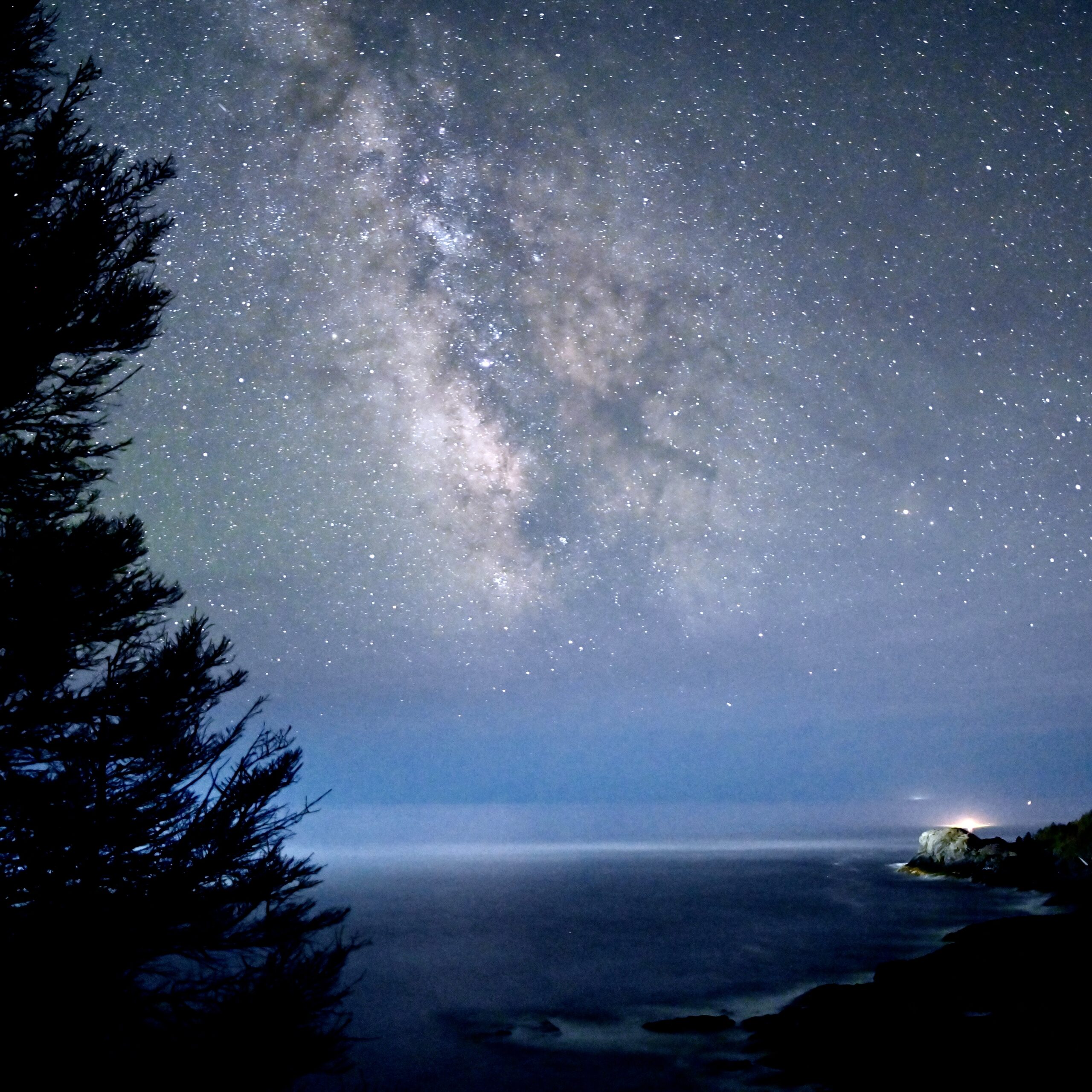
Photo: Ian Leavesley
Recent efforts by the Monhegan Associates have included a full surveying of all our land holdings, particularly with the boundaries with the Monhegan Plantation and with other privately owned land. These survey maps can be accessed for public viewing HERE.
If you are planning a hike and looking for a map of our trails, please see our Trails page. Printed copies of the MAI trail map may also be purchased for a nominal fee at various locations in the village.

